Skip to content
Casey Mitchell

Casey Mitchell

  • Home
  • GIS

Month: March 2020

Lake Mead National Recreation Area
GIS, Just for Fun

Lake Mead National Recreation Area

March 29, 2020May 9, 2021 by casemitch

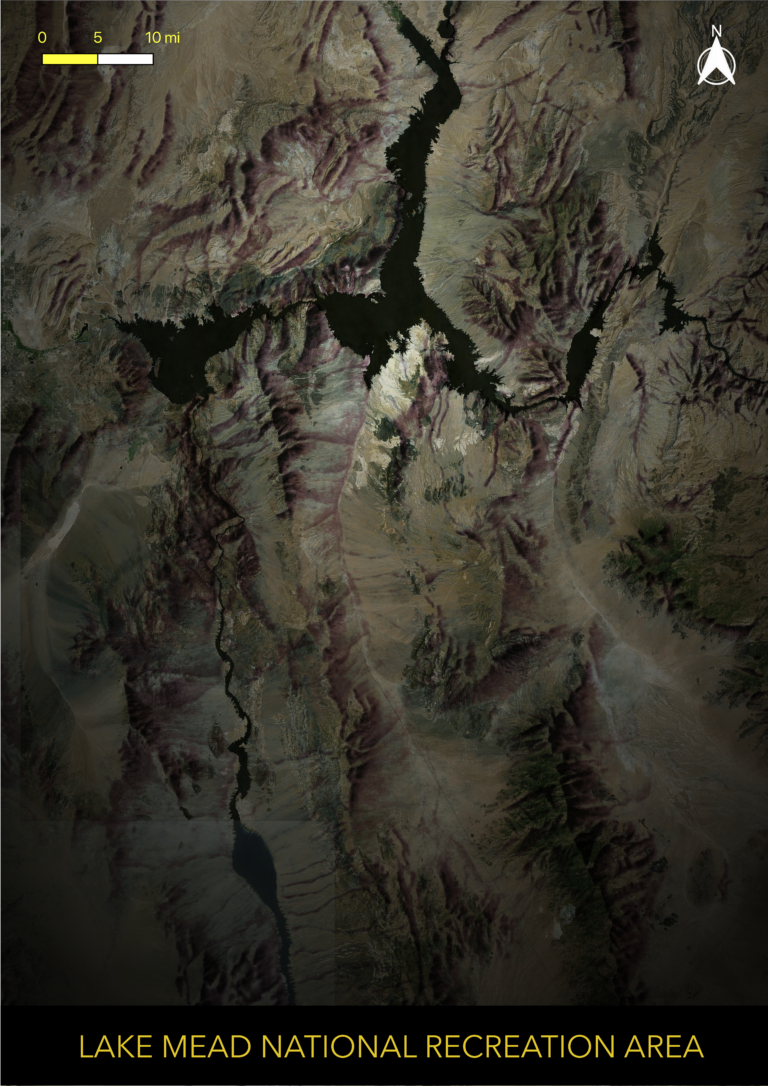
I created this visualization in QGIS for fun. I loosely followed this tutorial: https://www.esri.com/arcgis-blog/products/arcgis-pro/mapping/how-to-make-this-vintage-map-poster-of-yellowstone/ The process involved georeferencing and overlaying a vintage shaded relief tif […]

Recent Posts

  • Trees of the American Street Corridor
  • Wissahickon Valley Park
  • Fairmount Map
  • Design Studio Final Portfolio
  • Jenkintown Inventory and Analysis

Recent Comments

    Archives

    • July 2023
    • June 2023
    • May 2021
    • December 2020
    • April 2020
    • March 2020
    • January 2020

    Categories

    • Design
    • GIS
    • Just for Fun
    • Rudimentary
    • Sketchup

    Meta

    • Log in
    • Entries feed
    • Comments feed
    • WordPress.org

    Copyright © 2019 | All Rights Reserved. Fabulist by Shark Themes