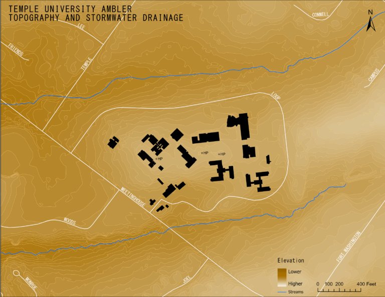
For my Design Studio course, I had to complete an analysis of the topography of Temple University Ambler’s Campus. To start off, I made some […]
Category: Just for Fun
Plants of Fairmount Park
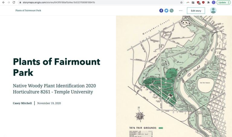
Check out the StoryMap I made of the plants of Fairmount Park for my Native Woody Plant Identification Course! It includes 3 maps: (1) one […]
Switzerland
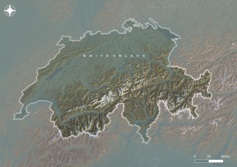
I loosely followed this tutorial: https://ieqgis.wordpress.com/2018/10/14/add-realistic-mist-and-fog-to-topography-in-qgis-3-2/ in QGIS to create this visualization of Switzerland. It involved creating a hillshade and a multidirectional hillshade out of […]
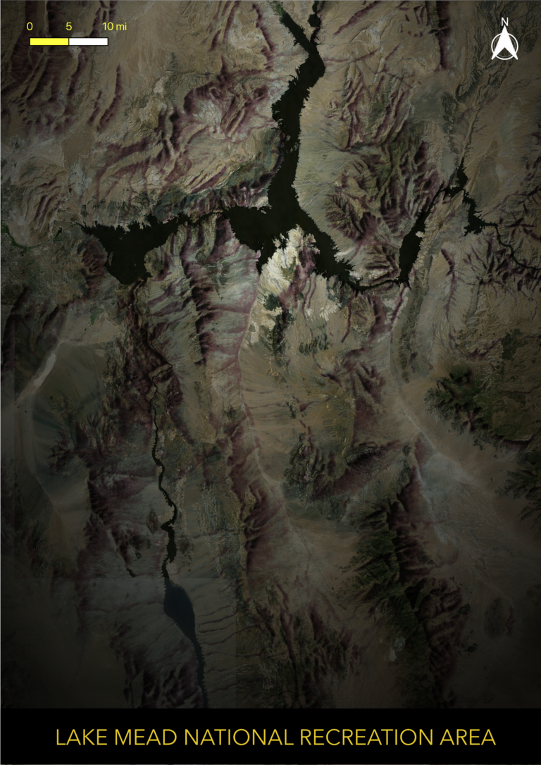
Lake Mead National Recreation Area
I created this visualization in QGIS for fun. I loosely followed this tutorial: https://www.esri.com/arcgis-blog/products/arcgis-pro/mapping/how-to-make-this-vintage-map-poster-of-yellowstone/ The process involved georeferencing and overlaying a vintage shaded relief tif […]
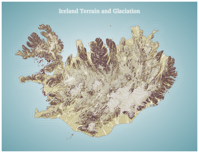
Iceland Terrain and Glaciation
About: I created this visualization using Icelandic terrain and glaciation data for fun in QGIS, drawing inspiration from this tutorial: https://www.esri.com/arcgis-blog/products/3d-gis/3d-gis/hacking-a-dem-sunrise/.
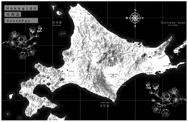
Hokkaido
About: I created this map of Hokkaido and the surrounding Russo-Japanese features for fun in ArcPro. I used design inspiration from this tutorial: https://www.esri.com/arcgis-blog/products/arcgis-pro/mapping/textures-from-basemaps/
